

Dev log · · v0.59.0
Our own fjord: the Saguenay from Tadoussac to Chicoutimi
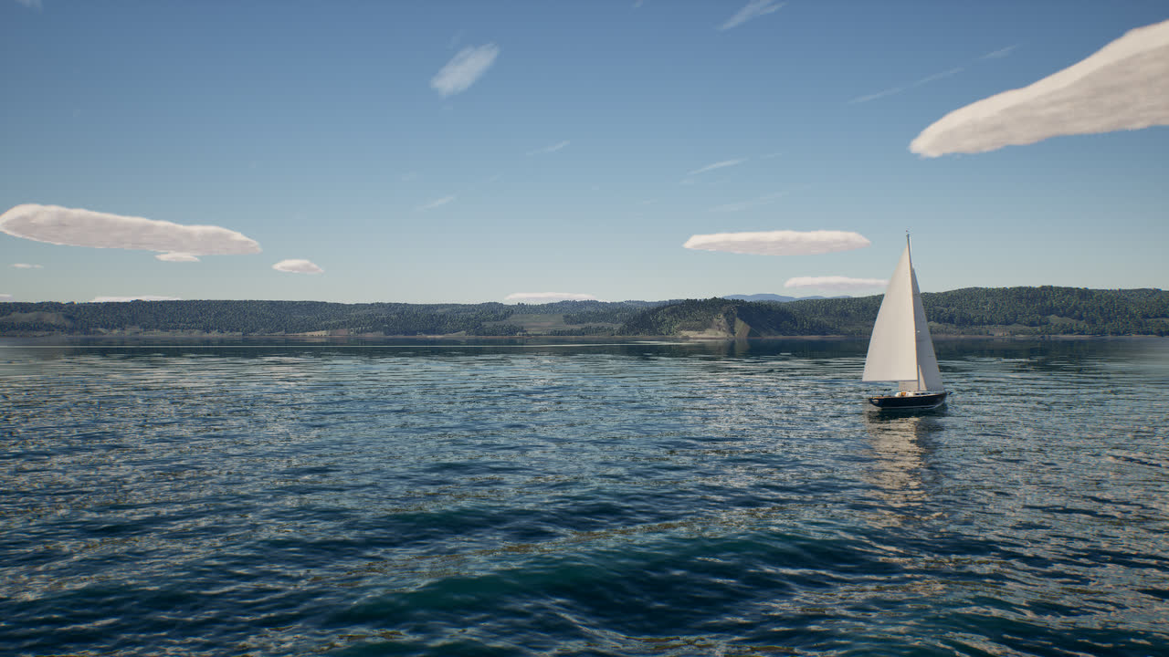
The whole Saguenay fjord is now built into the game from Québec's open data: lidar terrain, aerial photos, the forest inventory, the villages and their wharves, the great capes and the shores, from the estuary to Chicoutimi. It loads from your disk, with no account and no connection. Here are the eighteen places you can now start from.
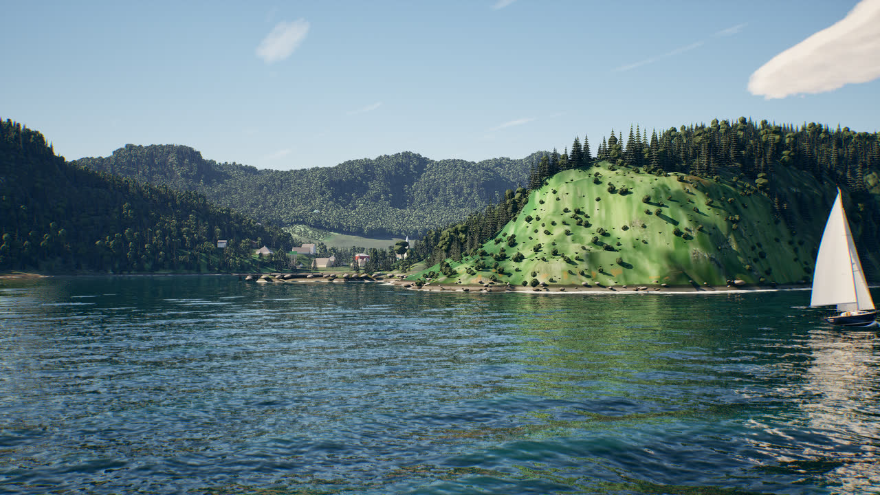
Until now, the land around the water in Fjord came from 3D scenery streamed over the internet. It looked right from a distance, but it needed an account and a connection, the shoreline wobbled, and close to the water it fell apart. In version 0.59 the whole Saguenay is our own: every hill, cliff, tree, village and beach between the estuary and Chicoutimi is built into the game from public data and loads from your disk.
What it is made of
- The land comes from the Québec government’s airborne lidar surveys, a height every metre, with the 2022 survey of the fjord first. Beyond the lidar, national elevation models fill in the far hills.
- The colour is the province’s aerial photography, 15 to 30 cm per pixel, with the sun and shadows of the flight removed so the game’s own sun can light it.
- The forest follows the provincial forest inventory: which species grow where, how dense and how tall. Along the shore, each tree stands on a crown measured by the lidar.
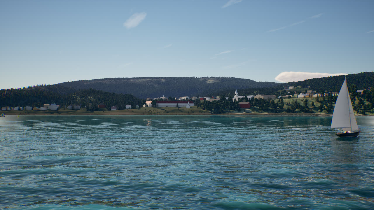
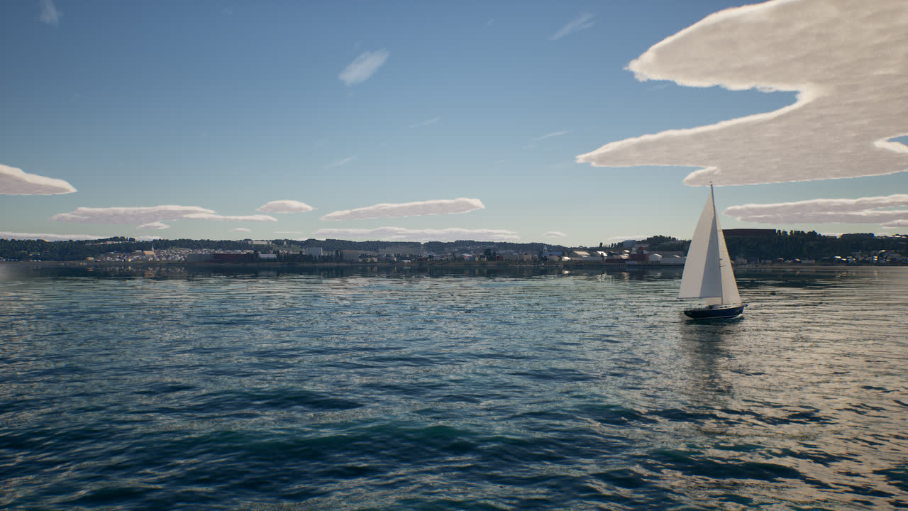
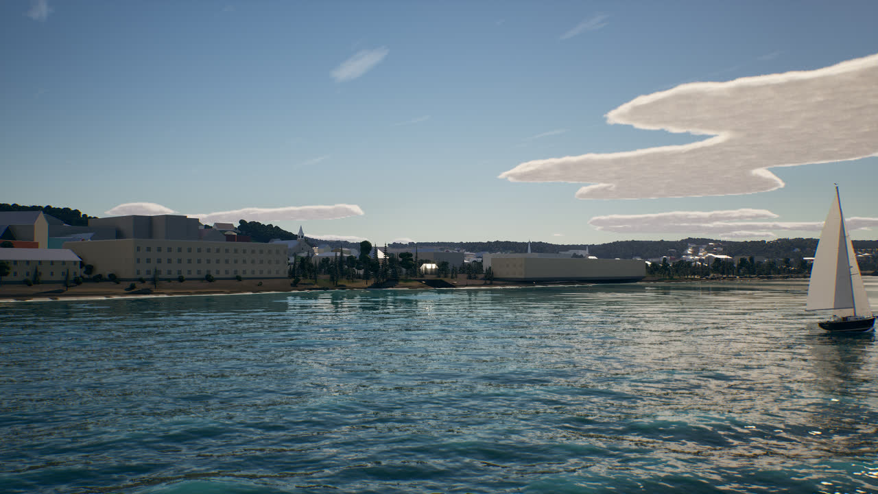
- The villages are built from building footprints, with roof heights from the lidar and roof colours from the photos. The wharves and pontoons are traced from the photos where no map had them.
- Cap Éternité and Cap Trinité are true 3D cliffs made from the lidar points themselves.
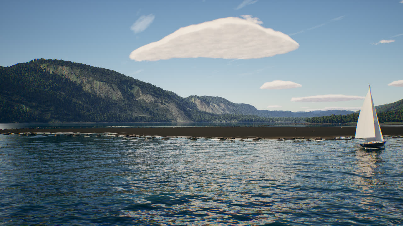
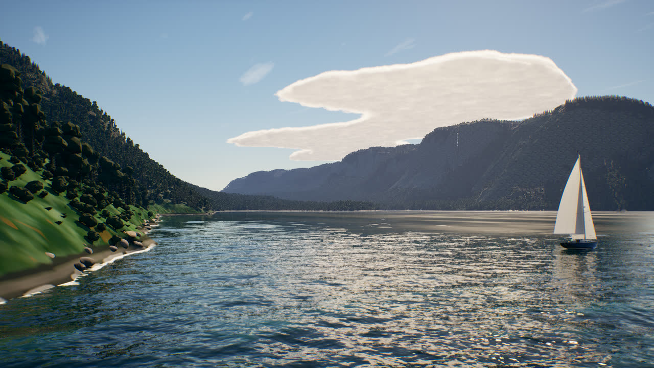
- The shores change with the stretch of coast: bare granite, boulders, gravel, sand or mud flats. Below the high-water line they are wet and weedy, and a line of foam follows the real tide up and down.
- The water is the Canadian Hydrographic Service’s depth survey and tide predictions, so the depths, currents and tides are the real ones.
It is on by default (Settings > Scenery, “Own fjord scenery”). Outside the fjord, the streamed scenery is still there.
Eighteen places to start from
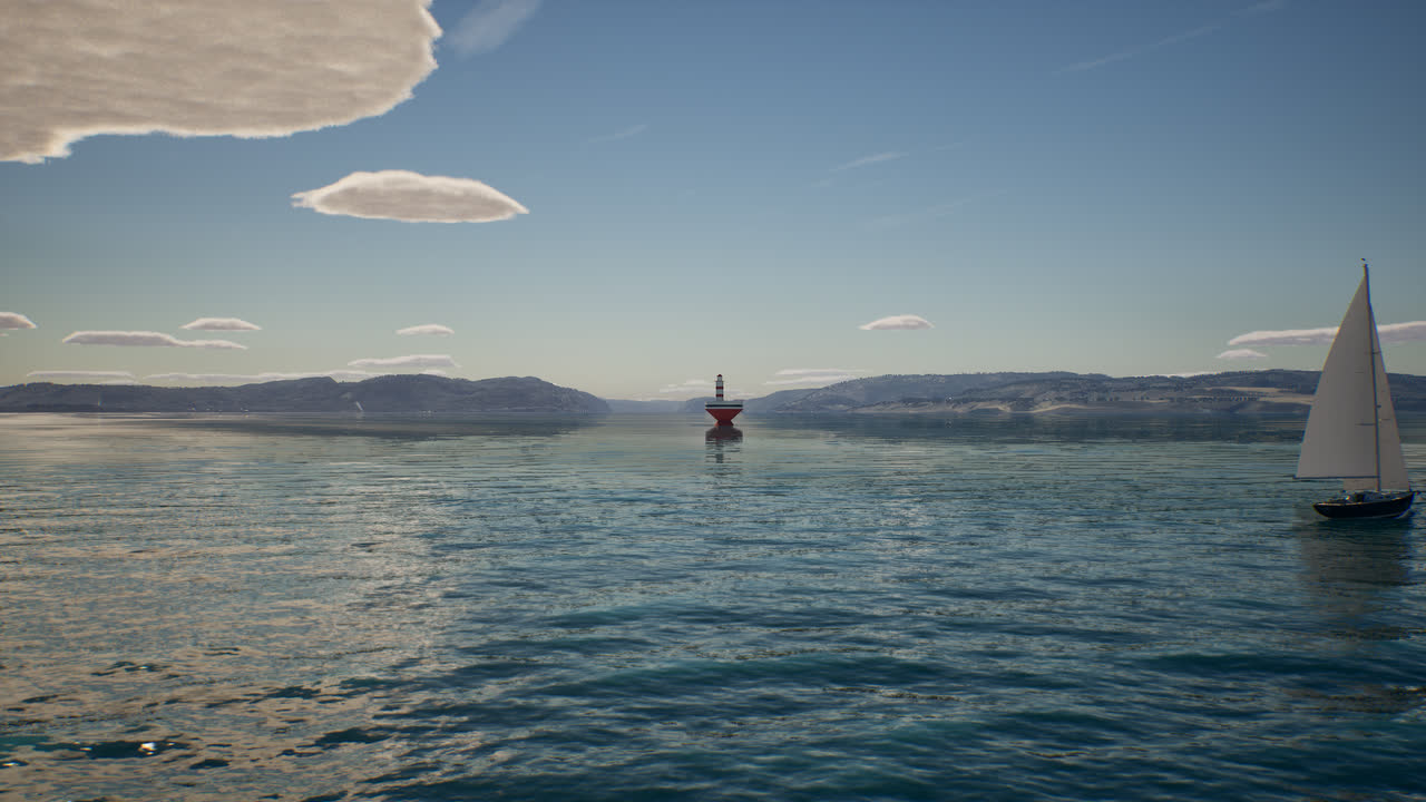
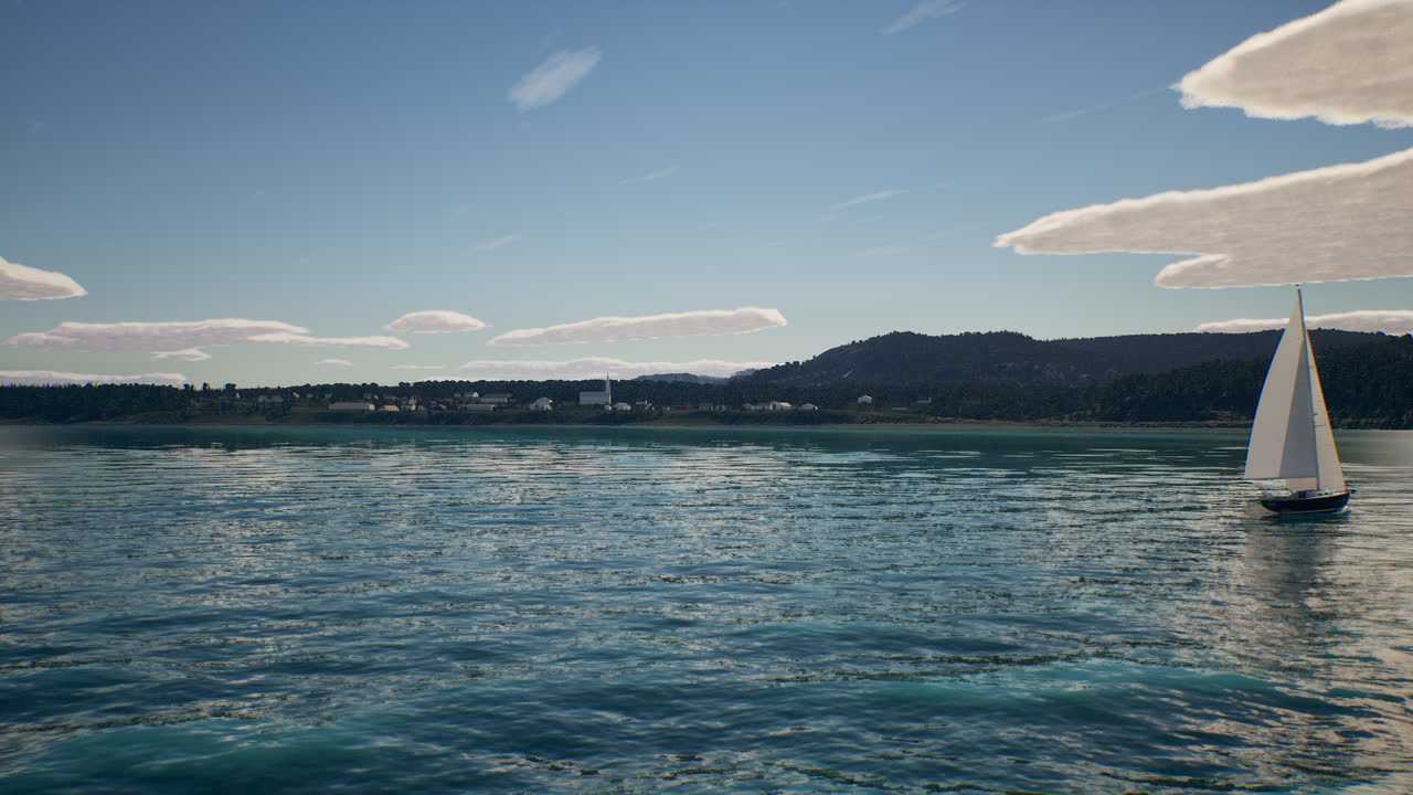
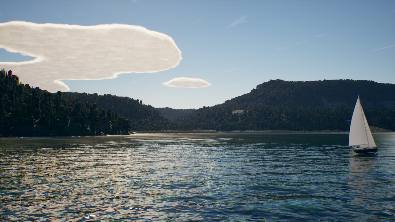
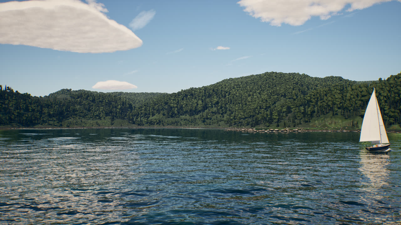
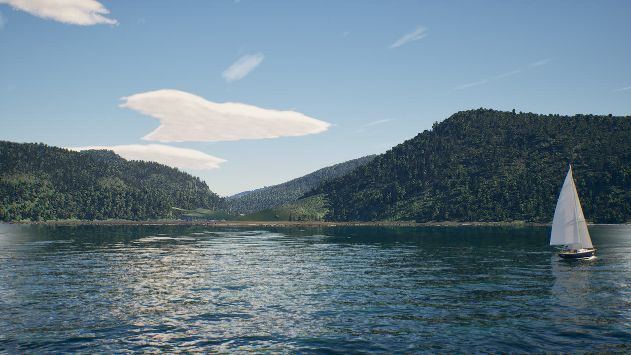
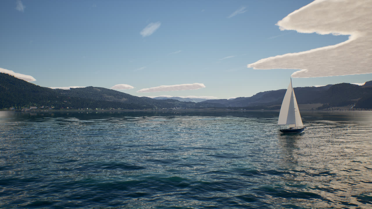
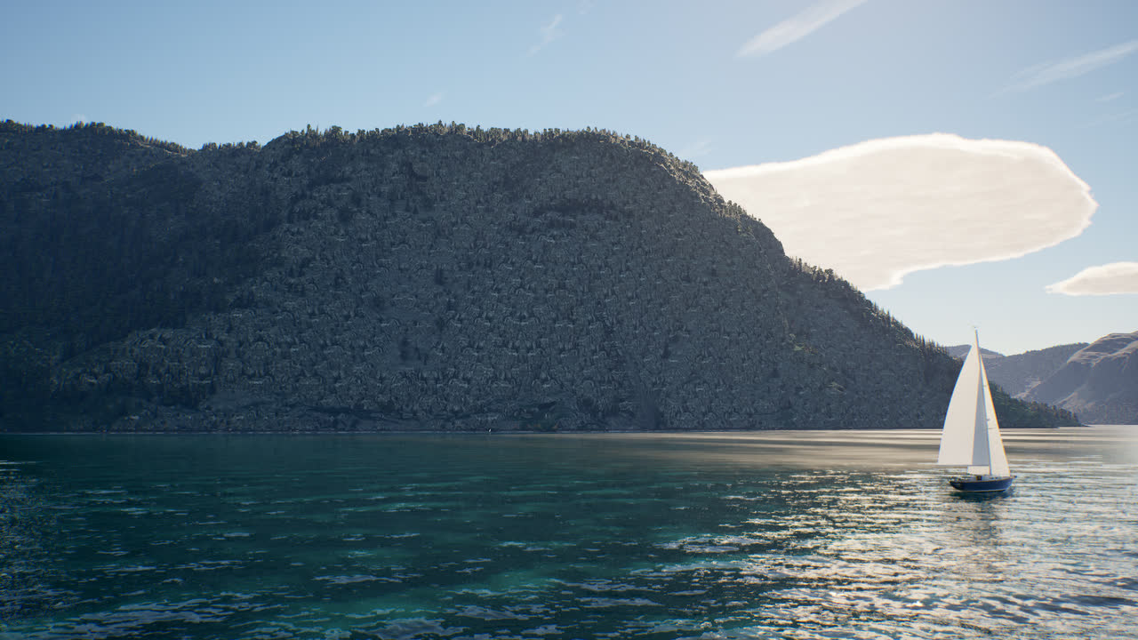
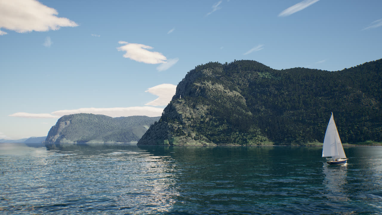
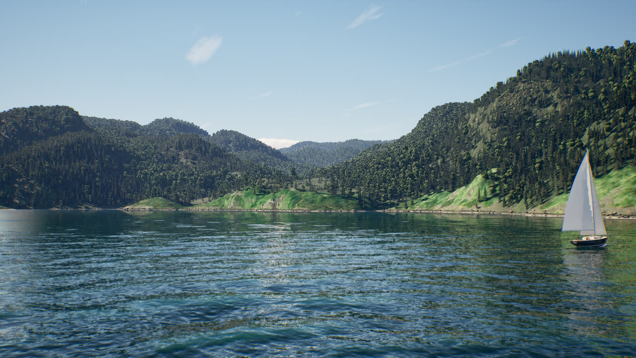
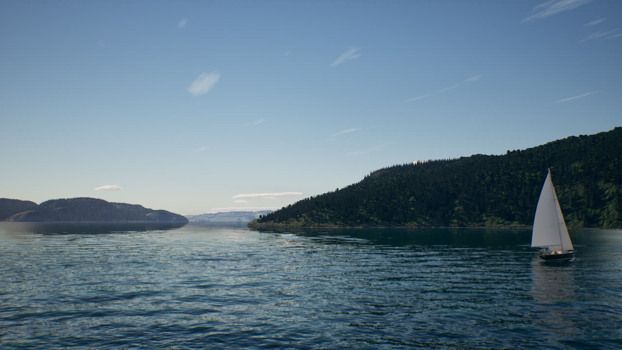
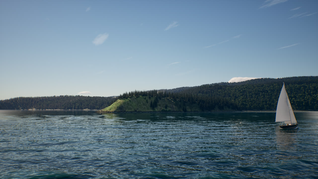
The world map now opens on a view of the whole fjord, with every village and landmark as a place to start: press M, pick one and choose SAIL HERE. Each start is on open water, at least 10 m deep, facing clear water. One picture of each, from the mouth upstream:
Credits
Lidar, aerial photography and the forest inventory: Gouvernement du Québec, Ministère des Ressources naturelles et des Forêts (CC BY 4.0). Elevation beyond the lidar: Natural Resources Canada. Depths and tides: Canadian Hydrographic Service, Fisheries and Oceans Canada (Open Government Licence – Canada). Building footprints and place names: © OpenStreetMap contributors (ODbL) and Microsoft Global ML Building Footprints (ODbL). Colour beyond the aerial photos: contains modified Copernicus Sentinel data 2024. Shore detail textures: Poly Haven (CC0). The full list is in the game, under Credits.